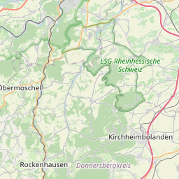
| Name | E 31 (int_ref)
A 61 (ref)
|
| Type | highway:motorway |
| Last Updated | 2017-02-26 22:17 |
| Admin Level | 15 |
| Rank | Street / Major Landmark |
| Importance | 0.1 (estimated) |
| Coverage | Point |
| Centre Point | 49.6567485,8.2841546 |
| OSM | way 242793917 |
| Extra Tags | 2 (lanes)
130 (maxspeed)
yes (oneway)
excellent (smoothness)
concrete (surface)
|


| Local name | Type | OSM | Admin level | Distance | |
| A 61 | highway:motorway | way 242793917 | 15 | 0 | details > |
| Abenheim | place:suburb | node 252600836 | 15 | 0 | details > |
| Pfeddersheim | place:suburb | node 255835007 | 15 | 0 | details > |
| Leiselheim | place:suburb | node 36742953 | 15 | 0 | details > |
| Ludwigshafen am Rhein | place:city | node 240125892 | 15 | 0 | details > |
| Mannheim | place:city | node 240060919 | 15 | 0 | details > |
| Mainz | place:city | node 240116263 | 15 | 0 | details > |
| Worms | boundary:administrative | relation 62453 | 6 | 0 | details > |
| Rheinland-Pfalz | place:state | relation 62341 | 4 | 0 | details > |
| 67550 | place:postcode | relation 1231107 | 15 | 0 | details > |
| Deutschland | place:country | relation 51477 | 2 | ~3 m | details > |
| de | place:country_code | 0 | |||
Parent Of | |||||
Phone | |||||
| No Name | emergency:phone | node 452959555 | 15 | ~541 m | details > |
Shelter | |||||
| No Name | amenity:shelter | node 672786639 | 15 | ~724 m | details > |